About
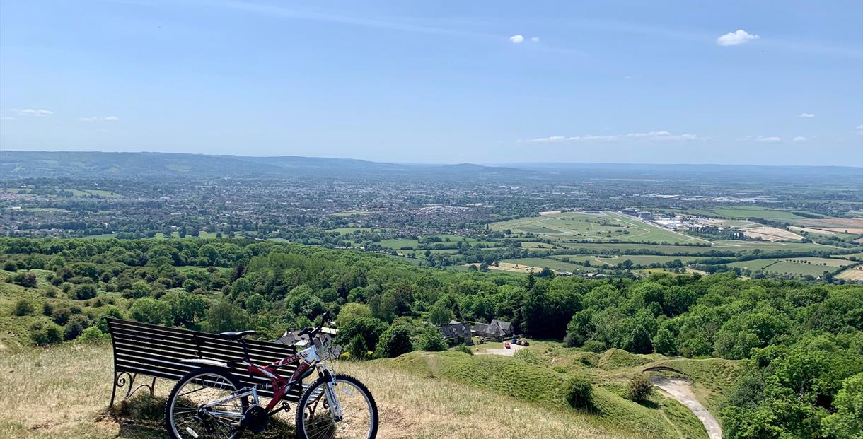
Cleeve Hill is located on Cheltenham’s North-Eastern edge, on the way to Winchcombe, affording breath-taking views of Cheltenham and the surrounding area.
At 330 metres above sea level or 1,083 feet, Cleeve Hill is the highest point in Gloucestershire and is also the highest peak of the Cotswold Hills. It is a part of Cleeve, which is the highest point in the Cotswolds. Countless foot paths criss-cross its 1,000 acres, including The Cotswold Way National Trail, and while its breath-taking views extend to the Malvern Hills and, on a clear day, to the Black Mountains of Wales. The Cotswold Way also passes this way.
Cleeve Common is mostly an area of limestone grassland, achieving a nationally designated site of importance and also an SSSI (Site of Special Scientific Interest) status. It is also the largest unenclosed “Wold” on the Cotswold escarpment, with over 400 hectares of open space.
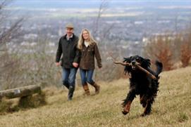
Drive up (or cycle if you’re feeling fit) Cleeve Hill on the B4632 towards Winchcombe, where you can stop off at The Rising Sun and enjoy a beer or pub lunch in their beer garden with an open vista in front of you. Next stop is the viewpoint on the left, which is a firm local favourite and a great place to view astrological events including comets and shooting stars before continuing to the top with its golf course and car park. The golf course is open to all and offers a rugged and blustery course – a challenge for locals and visitors alike – while the hill offers brilliant, open spaces for dog walking, away from roads. Parking in the old quarry is limited, but hardly ever full, and from there it is a short (if slightly steep) walk to the Trig Point which marks the highest point of the Cotswold Hills.
During the summer, if you are planning to walk your dog, beware the flock of sheep who graze the land. Local farmers help to maintain the condition of the common with traditional flock grazing, which helps to maintain the diversity of this wildflower rich grassland, many of which wildflower species are critically endangered nationally. The landscape is not without human history either; near to the summit is Belas Knap a Neolithic long barrow, as well as an Iron Age hill fort on the Western Scarp.


 to add an item to your itinerary basket.


.png)


